











GIS Software Development Company

GIS Software Development Company

Comfygen builds custom GIS software, from WebGIS platforms to spatial databases, for companies that need to map, analyze, and act on location data. Since 2019, our team has delivered 550+ projects for 400+ clients across 30+ countries.

 Industry Experience
Since 2019
Industry Experience
Happy Clients
400+
Happy Clients
Countries Served
30+
Countries Served
Projects Delivered
550+
Projects Delivered

GIS Software Development Services

Six ways Comfygen helps a team put location data to work.

Desktop and web GIS applications built around how your team actually works, not a generic off-the-shelf tool.

services background

Custom GIS Application Development

Desktop and web GIS applications built around how your team actually works, not a generic off-the-shelf tool.

WebGIS Development

Browser-based mapping platforms built on GeoServer and open mapping APIs, so a map opens for anyone with a link.

GIS Database Design

Spatial databases on PostGIS, Oracle Spatial, or SQL Server, built to hold millions of location records without slowing down.

Geospatial Mapping & Visualization

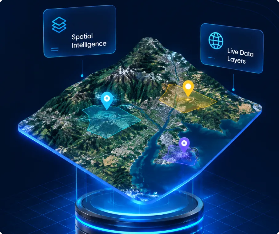
Interactive 2D and 3D maps, dashboards, and geoprocessing tools that turn raw coordinates into a readable picture.

GIS Data Migration & Integration

Moving legacy GIS data onto a modern stack, and connecting it to the business intelligence tools your team already runs.

Hire GIS Developers

Dedicated GIS developers and consultants who join your team for a single project or an ongoing build.

What is GIS software development?

What is GIS software development?

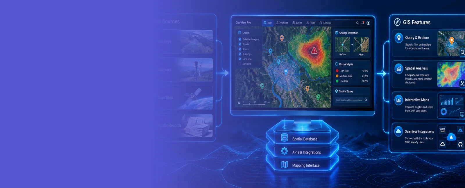
GIS software development builds the applications that capture, store, analyze, and display location data, so a team can see patterns on a map instead of buried in a spreadsheet. A custom GIS system pulls data from surveys, sensors, satellites, or public records into one place, then lets a team query it, run spatial analysis on it, and share it as an interactive map.

Comfygen builds these systems end to end: the spatial database underneath, the mapping interface on top, and the integrations that connect it to the tools a team already uses. The same team runs Comfygen's wider geospatial AI development work, so a GIS platform can plug straight into satellite imagery analysis or a wildfire risk tool later without a rebuild.

PLATFORM CAPABILITIES

What a Comfygen GIS platform can do

Spatial analysis and geoprocessing
Geocoding and reverse geocoding
Real-time location and asset tracking
3D terrain and building visualization
Offline-first mobile GIS data collection
Role-based access to sensitive map layers
Where this expertise comes from

Built on Work Comfygen Already Ships

Comfygen does not have a public GIS case study live yet, so here is what this page's claim actually rests on: the same engineering team already delivers AI and machine learning development and IoT development for clients in 30+ countries. GIS work draws on that directly. A spatial database is still a database, a mapping interface is still a web and mobile interface, and a geoprocessing model reuses the same AI development practice the team already runs.

SEE IT BEFORE YOU COMMIT

Ask for a small GIS proof of concept on your own data, scoped to a couple of weeks, before signing off on the full build.

Ask for a proof of concept →

Industries We Build GIS Software For

🌾 Agriculture

🏙️ Urban Planning

⚡ Utilities & Energy

🏛️ Government & Public Sector

🛡️ Insurance & Risk

🚚 Transportation & Logistics

Our GIS Development Process

Discovery

Map your data sources, users, and the decisions the GIS platform needs to support.

GIS Architecture & Design

Spatial database schema, map layers, and system architecture planned before a line of code gets written.

Development

Core GIS application and spatial database get built in sprints, visible to you at each one.

Deployment

Platform goes live on cloud or on-premise infrastructure, tested against your real data.

Support & Maintenance

Bug fixes, security patches, and data updates after launch.

Performance Monitoring & Optimization

Query speed and map load times get tracked and tuned as data volume grows.

Scalability & Future Enhancements

New layers, new data sources, or AI features added on as the platform grows, including a path into satellite imagery analysis or wildfire risk modeling.

Discovery

Map your data sources, users, and the decisions the GIS platform needs to support.

GIS Technology Stack

ArcGISArcGIS
QGISQGIS
GeoServerGeoServer
MapServerMapServer
PostGISPostGIS
Oracle SpatialOracle Spatial
SQL ServerSQL Server
Google MapsGoogle Maps
MapboxMapbox
LeafletLeaflet
OpenLayersOpenLayers
AWS CloudAWS Cloud
Microsoft AzureMicrosoft Azure
Google CloudGoogle Cloud
DockerDocker

Why choose Comfygen for GIS software development

Comfygen brings software delivery experience since 2019 into GIS projects, backed by dedicated geospatial engineers.

Optimum Outcome Focused

Optimum Outcome Focused

Our developers are focused to bring optimum outcomes through high-performance spatial databases and intuitive interactive maps.

Proven delivery record

Since 2019, Comfygen's team has shipped 550+ projects for 400+ clients across 30+ countries, with a 97% client retention rate.

Dedicated GIS engineers

Your project gets engineers who work in PostGIS, GeoServer, and the Esri stack daily, not generalists learning spatial data midway.

Built around your data

Every GIS build starts from your own data and coordinate systems, so the platform fits existing workflows instead of replacing them.

Proof before commitment

Ask for a working proof of concept on your own data before approving the full build, so nothing rests on trust.

Support after launch

Comfygen's team stays on after go-live for fixes, new data sources, and changes as your mapping needs grow, not a handoff.

Certified and global

ISO 9001, ISO 27001, and ISO/IEC 20000-1 certified, with delivery teams working from Jaipur, Toronto, and Euskirchen across time zones.

Hire GIS Developers for Your Project

Add dedicated GIS engineers to your team without the recruiting cycle.

  • Flexible engagement: hourly, part-time, or full-time

  • Direct access to your assigned developers

  • No recruitment or HR overhead

  • Start within days, not months

Hire GIS Developer

Frequently Asked Questions

GIS software is a type of software designed to capture, store, analyze, manage, and present geospatial data. It gives a team a framework for organizing and querying spatial data to understand and solve real-world location problems. Examples of off-the-shelf GIS software include ArcGIS, QGIS, and MapInfo.

Off-the-shelf tools like ArcGIS or QGIS work well for general mapping but rarely fit a specific workflow without heavy configuration. Custom GIS software is built around your exact data sources, user roles, and the decisions your team actually makes, so there is nothing to work around.

A focused GIS application or WebGIS platform typically takes 8 to 16 weeks, depending on how many data sources it connects to and how much of the spatial database needs building from scratch.

Yes. AI can automatically flag errors and inconsistencies in GIS data, such as incorrect or missing attribute values, and suggest corrections based on patterns in the rest of the dataset. It can also fill gaps by predicting values from nearby known data points.

Yes. Field teams often work without reliable signal, so Comfygen builds offline-first mobile GIS apps that capture data locally and sync once a connection is back.

Yes. Comfygen moves legacy GIS data, shapefiles, geodatabases, or an old on-premise system, onto a modern spatial database and connects it to the business intelligence tools your team already uses.

Yes. GIS developers can join your team on an hourly, part-time, or full-time basis, working directly with your in-house team or as an extension of it.

Comfygen builds to ISO 9001:2015, ISO/IEC 20000-1:2018, and ISO 27001 standards, with role-based access control on sensitive map layers, so government and utility clients can set exactly who sees what.

Client Success Stories

Hear what our clients have to say about their experience working with us

Nitesh Rajput

Book My Tutor

Sayead Shadab Arif

Froge Flex

Ready to build your GIS platform?

Tell Comfygen's team what data you have and what your users need to see on a map. A short discovery call is enough to scope the first version.

Ready to build your GIS platform
Abhishek Singh

Abhishek Singh
(Project Manager)

Abhishek Singh is a Project Manager at Comfygen Technologies, leading mobile app solutions for clients across 7 countries. He has managed 20+ end-to-end builds across delivery, healthcare, finance, education, and ecommerce platforms. His Python background gives him a solid technical grip on what he's managing, and he handles scoping, planning, and delivery to keep every project on track.

Our Latest Blog

We have the knowledge and skills to work on diverse niches with high-performing solutions. Get insights about the tech revolutions and their significance through our updated blogs.